
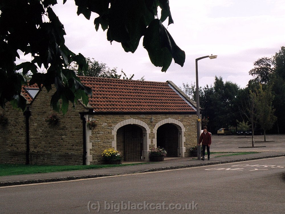
The car park, Helmsley

Carolyn at the starting stone, Helmsley
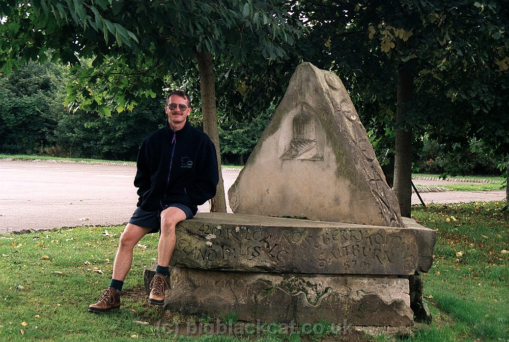
Steve at the starting stone, Helmsley

Rievaulx Bridge

Approaching Rievaulx Abbey

Rievaulx Abbey
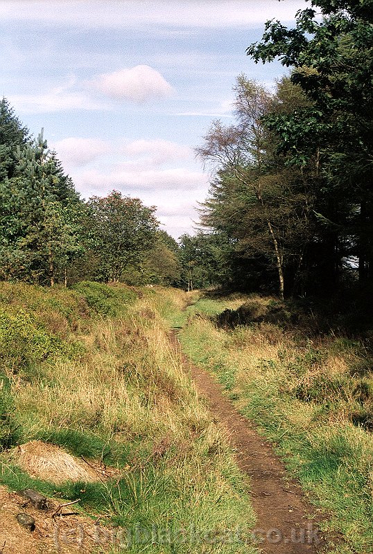
Woodland walk to Sutton Bank

Looking west from Sutton Bank

Take off for a glider, Sutton Bank
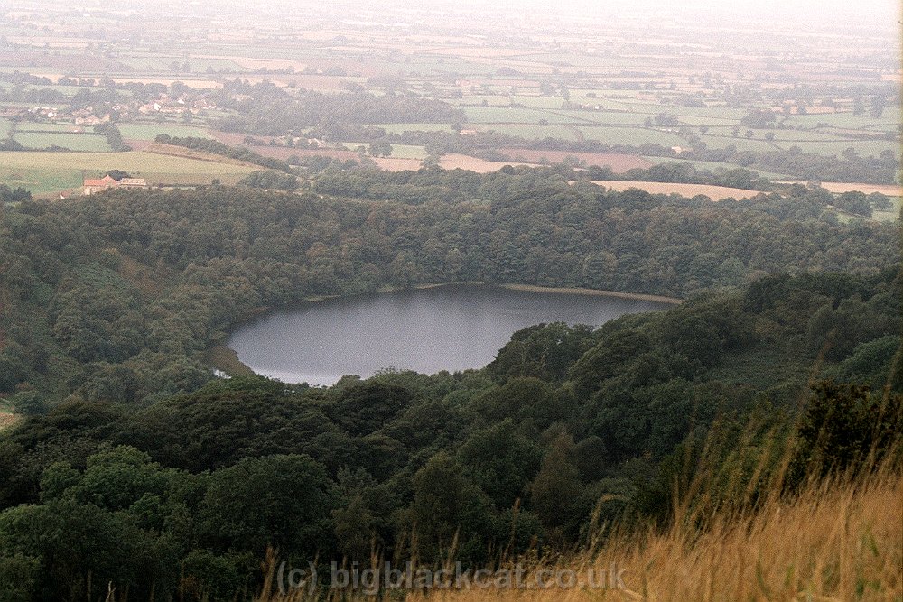
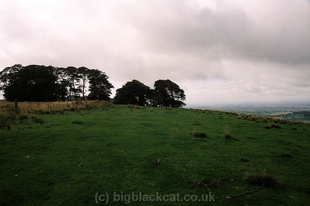
Gormire Lake from Sutton Bank top

Whitestone Cliff
High Barn

Looking back to High Barn

Carolyn plans the next step forward, Boltby Forest

Looking west from disused quarries, Nab Farm bottom right

Patchwork of colours, Whitestone Scar edge
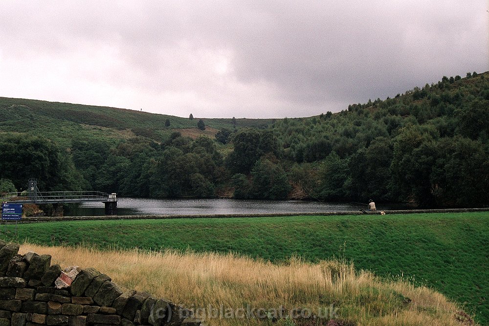
Oakdale Upper Reservoir

Nab end of Cleveland Hills

The way ahead - Scarth Wood Moor

Looking north from Live Moor - Roseberry Topping on the horizon, centre

Viewing point, Cringle End

Carolyn at viewing point, Cringle End"

The Wainstones, from Cold Moor

Jenny Bradley - a boundary marker stone on Greenhow Moor

'Siberia' from Incline Top, Greenhow Moor

A dark and brooding Roseberry Topping from the Cook Monument

Cleveland Way fingerpost

Aproach to Roseberry Topping

Marker stone halfway up Roseberry Topping

Guisborough from viewing point, Highcliff Nab

Carolyn at viewing point, Highcliff Nab

Steve at viewing point, Highcliff Nab

Looking back at Saltburn from the Ship Inn

Looking south from Huntcliffe

Looking north to Huntcliffe

Sculpture, Warsett Hill

Looking back. Warsett Hill in the far distance

Port Mulgrave

Runswick Bay from the beach

Sandsend. View from back bedroom window at Marstalls

Sandsend. View from front bedroom window at Marstalls

Looking back at Sandsend

Approaching Whitby

Whitby Abbey

Early morning. Robin Hood's Bay shrouded in mist

Huge mushroom, Staintondale

Waterfall, Hayburn Wyke

Looking back to Cloughton Wyke

Looking back at the day's route, Hundale Scar

Scarborough from South Cliff

Highland cattle, Cayton Bay

Horny beast, Cayton Bay

Almost there !!

Looking north towards Scarborough, Cayton Bay

Final approach to Filey Brigg

Carolyn at the 'completion stone', Filey Brigg

Steve at the 'completion stone', Filey Brigg