

King's Lynn bus station


The official start - South Quay, King's Lynn

Fingerpost and waymarker

Fingerpost and waymarker, King's Lynn

The River Nar joins the tidal River Great Ouse
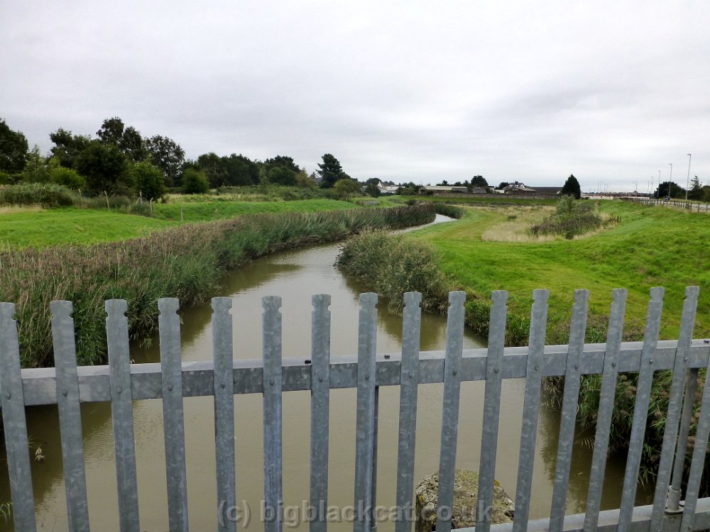
River Nar just before the tidal sluice

The first mile-or-so. Not very interesting - or pleasant.

Under the A47

... and things start to look a bit better ...

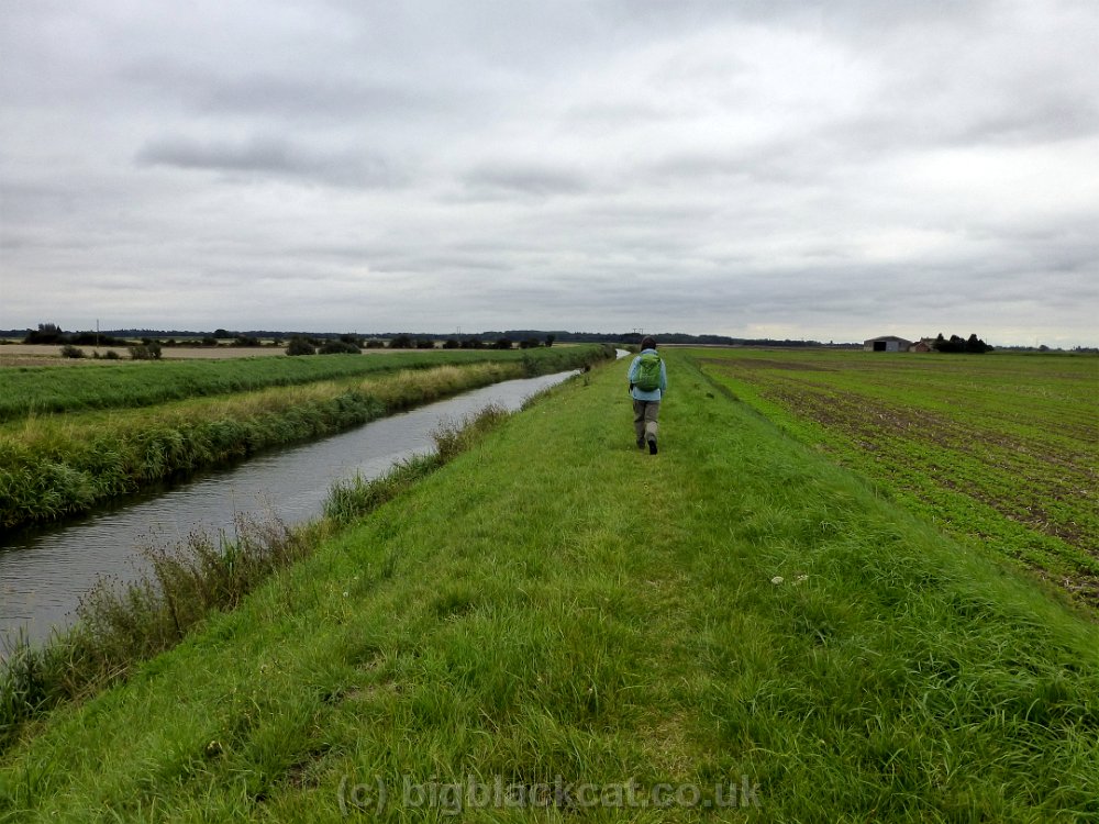
Typical open riverside stretch as we leave King's Lynn behind

Still a typical embanked river - but plenty of shade here

A good year for hawthorn berries

Overgrown path approaching the railway line, beyond West Winch

Dark and dingy under the railway line ...
... then back to typical wide open fenland spaces
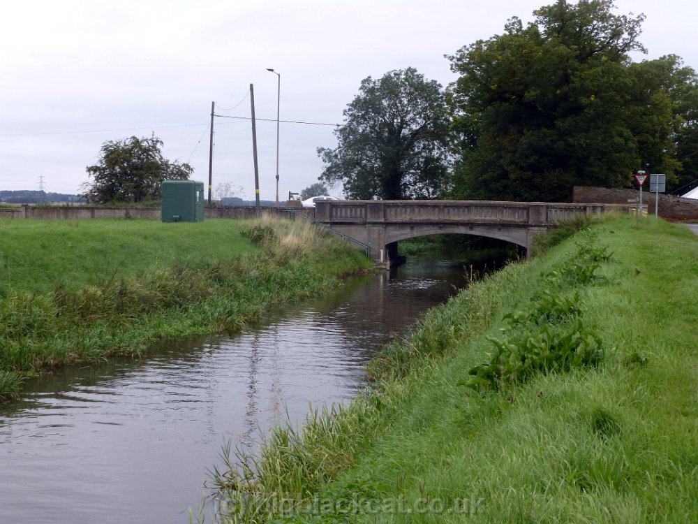
Road bridge and Environment Agency gauging station, Setchey

More open country - and embanked fen river

Lots of swans

...

Approaching High Bridge ...

... and a spot of lunch.

River Nar looking more natural now

More swans

Some examples of river restoration and habitat creation ...

... between Blackborough and Pentney ...

Remains of Pentney Abbey gatehouse in the background

More good work to creating a more natural river

...

... even creating a riffle ...

Oh my Word ... a veritable torrent !!

Unusual style for this gate

Altogether a different river as we approach Marham

Marham Intake

Definitely a more natural river now

Restoring the Narborough Bone Mill

...

Now we're talking. More like a proper SSSI now.

Looking downstream from the road bridge at Narborough ...

... and the impressive trout

Narborough Mill


Nice stretch of river through Bradmoor Plantation


Track leading to ...

... West Acre ...

... and the gatehouse to a former Augustinian abbey ...

.. and 13th century church.

Back to the River Nar


Grazing marshes approaching Castle Acre

Recently been cut for hay ?

The final push to Castle Acre

The River Nar is now definitely a proper, natural, river


13th century Bailey Gate, Castle Acre

Church Gate B&B, our overnight stop in Castle Acre

Last few remains of the castle

Leaving Castle Acre(and the River Nar)

A pleasnt woodland stroll to ...

Newton Mill


Herding a creche of young pheasants

East Lexham

Time for a quick rest and water stop.


Litcham Common ...

... home to lots of ponies ...

.. and a very lovely place to wander


Outdoor pigs at Grenstein Farm


An inquisitive on-looker

Almost there. Time for a quick water-and-winegum stop before the last few hundred yards to ....

... the end of the Nar Valley Way. Now we just have to get to Dereham to catch the bus back home.

Headwaters of the River Wensum

Pleasant wooded track on the Wensum Way

Then literally acres of blackcurrant bushes